
搜索结果: 1-15 共查到“测绘科学技术其他学科 GIS”相关记录17条 . 查询时间(0.131 秒)

上海GIS实践与发展30年纪念活动顺利举行(图)
上海 GIS实践 发展 纪念活动
<
2021/1/20
2020年11月20日下午,上海GIS实践与发展30年纪念活动在我院举行。本次活动由上海市城乡建设和交通发展研究院主办,我院承办。会议由院总工程师赵峰主持,上海GIS行业老领导江绵康、简逢敏及GIS相关行业人员30余人参加了本次活动。

北京建筑大学测绘与城市空间信息学院刘祥磊教授获第八届全国高校GIS“十大创新人物奖”(图)
北京建筑大学 测绘与城市空间信息学院 刘祥磊 教授 第八届 GIS 十大创新人物奖
<
2020/11/17
2020年11月7-8日,第八届高校GIS论坛在广州成功举行。高校GIS论坛(College GIS Forum,缩写CGF)(以下简称“论坛”)是政府大力支持、高校自发组织、企业参与的非营利性学术论坛,自2006年创办,每两年举办一届。论坛为政府、企业及学者搭建了一个对话、交流的平台,旨在提升GIS教育水平,增进GIS学术交流,丰富GIS应用研究,加快GIS产业发展。本届会议由广州大学承办,会议...
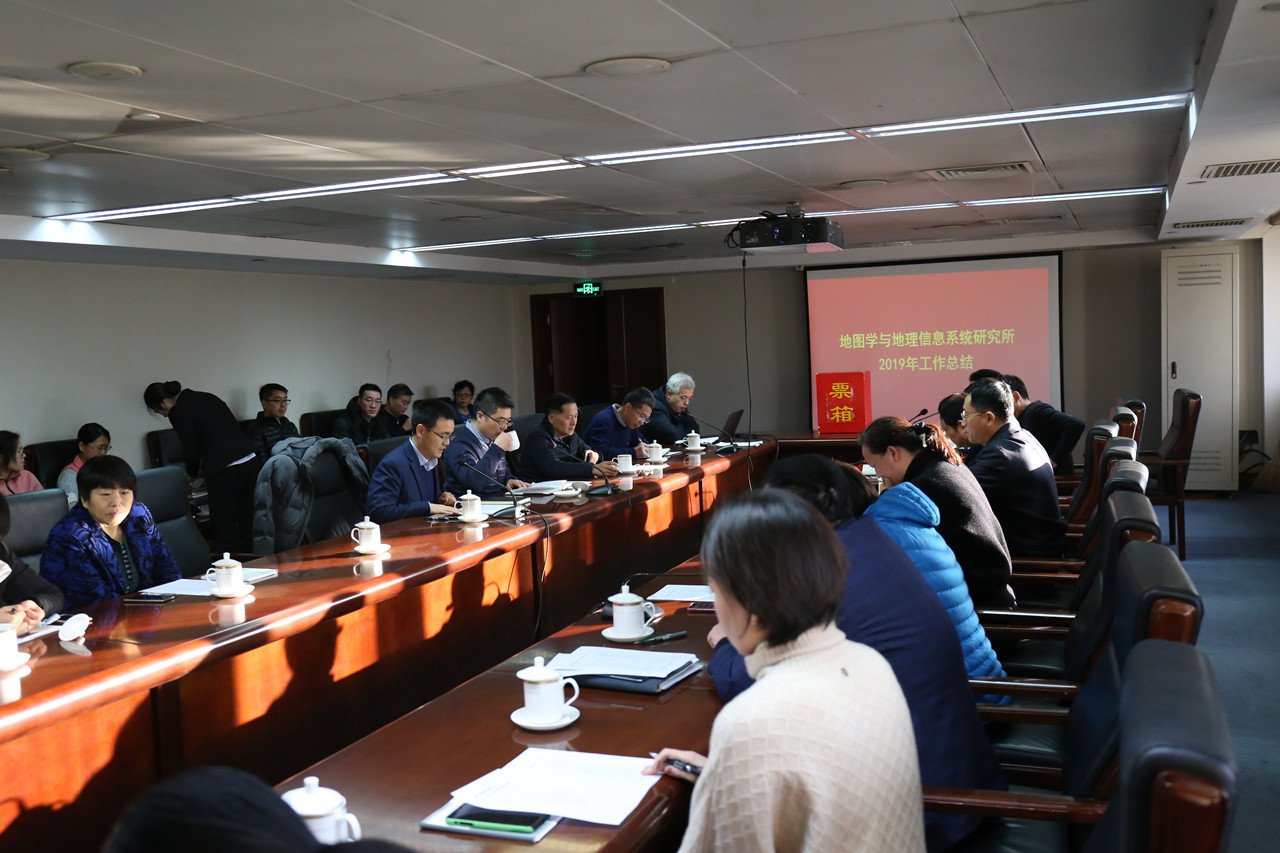
中国测绘科学研究院GIS所召开2019年度工作总结会(图)
中国测绘科学研究院 GIS所 2019年度 工作总结会
<
2020/1/13
2019年12月31日,我院地图学与地理信息系统研究所在中国测绘创新基地召开2019年度工作总结会,我院副院长刘纪平、李成名以及各职能部门负责人出席会议。
会上,GIS所负责人从聚焦重点研究方向、牵头重大科研项目、科技创新、人才培养、成果转化等方面总结了全所2019年的工作成效。2019年,GIS面向测绘地理信息行业需求,围绕我院职责定位,在智慧城市、新型基础测绘、地图智能综合、国情制图、全球地...
SEDIMENT YIELD ESTIMATION AND PRIORITIZATION OF WATERSHED USING REMOTE SENSING AND GIS
Soil Erosion USLE Sediment yield GIS Remote sensing
<
2014/4/30
Soil erosion is the greatest destroyer of land resources in Indravati catchment. It carries the highest amount of sediment compared to other catchment in India. This catchment spreading an area of 41,...
PARTICIPATORY GIS FOR SOIL CONSERVATION IN PHEWA WATERSHED OF NEPAL
Participatory Geographic information Local Knowledge Stakeholders RUSLE Soil erosion risk map
<
2014/4/29
Participatory Geographic Information Systems (PGIS) can integrate participatory methodologies with geo-spatial technologies for the representation of characteristic of particular place. Over the last ...
Runoff simulation using distributed hydrological modeling approach, remote sensing and GIS techniques: A case study from an Indian agricultural watershed
Distributed hydrological model GIS Remote sensing Curve number Muskingum-Cunge technique
<
2014/4/29
Distributed hydrological modeling has the capability of simulating distributed watershed basin processes, by dividing a heterogeneous and complex land surface divided into computational elements such ...
IMPACT OF THE ATATüRK DAM LAKE ON AGRO-METEOROLOGICAL ASPECTS OF THE SOUTHEASTERN ANATOLIA REGION USING REMOTE SENSING AND GIS ANALYSIS
Atatürk Dam Lake GAP Landsat time-series Tasseled Cap transformation Disturbance Index RS GIS
<
2014/4/30
The Atatürk Dam is the fourth largest clay-cored rock fill dam in the world. It was constructed on the Euphrates River located in semi-arid Southeastern Turkey in the 1980s as the central component of...
MONITORING ENVIRONMENT WITH GIS FOR PART OF THIRUVALLUR TOWN USING CARTOSAT 1 STEREO, PAN & RESOURCESAT LISS 4 MSS MERGED DATA
Environment Thiruvallur Population Health GIS Cartosat1 Resourcesat1LISS4
<
2014/4/29
Thiruvallur town is about 44 km from Chennai in Tamil nadu state of India with a population of 130000 , covering 10.75 sq km area. It is about 2km from Sri Venkateswara College of Engineering and Tech...
RISK ZONE MODELLING AND EARLY WARNING SYSTEM FOR VISCERAL LEISHMANIASIS (KALA-AZAR) DISEASE IN BIHAR, INDIA USING REMOTE SENSING AND GIS
Visceral Leishmaniasis Kala-azar vector density Satellite data Remote Sensing GIS
<
2014/4/29
Visceral Leishmaniasis (VL) commonly known as Kala-azar is one of the most neglected tropical disease affecting approximately 200 million poorest populations 'at risk in 109 districts of three endemic...
Fuzzy Classification with a GIS as an Aid to Decision Making
Aid to Decision Making Fuzzy
<
2014/4/15
Fuzzy Classification with a GIS as an Aid to Decision Making。
A Remote-sensing GIS Approach to Monitoring Regeneration and Predicting Risk of Erosion and Desertification after a Forest Fire in the Mediterranean Region
GIS a Forest Fire
<
2014/4/15
A Remote-sensing GIS Approach to Monitoring Regeneration and Predicting Risk of Erosion and Desertification after a Forest Fire in the Mediterranean Region。
A GIS-based Forest Fire Management Information System
GIS-based Forest Fire Management Information System
<
2014/4/15
A GIS-based Forest Fire Management Information System。
Groundwater Modelling of a Coastal Dune Using Remote Sensing and GIS
Coastal Dune Using Remote Sensing GIS
<
2014/4/15
Groundwater Modelling of a Coastal Dune Using Remote Sensing and GIS。
Integration of Remotely Sensed Data Into a GIS for the Assessment of Land Suitability
Remotely Sensed Data GIS Land Suitability
<
2014/4/16
Integration of Remotely Sensed Data Into a GIS for the Assessment of Land Suitability
Remote Sensing and GIS Application in Antarctica
Remote Sensing GIS Application Antarctica
<
2014/4/16
Remote Sensing and GIS Application in Antarctica