
搜索结果: 1-15 共查到“摄影测量与遥感技术 mapping”相关记录463条 . 查询时间(0.389 秒)
Ayman F.Habib教授作“Mobile Mapping Systems for Accurate Documentation of Transportation Corridors”报告(图)
Ayman F.Habib教授 土木工程学 数字摄影测量 美国摄影测量与遥感学会
<
2022/8/29
2021年12月23日上午,由测绘与空间信息学院主办的第11期智“绘”讲堂在第一会议室成功举办。本期智“绘”讲堂邀请到美国摄影测量与遥感学会(ASPRS)和加拿大地球空间信息学会(CIG)会员、美国普渡大学土木工程学院教授、数字摄影测量课题组组长、首席科学家Ayman F. Habib教授作了题为“Mobile Mapping Systems for Accurate Documentation ...

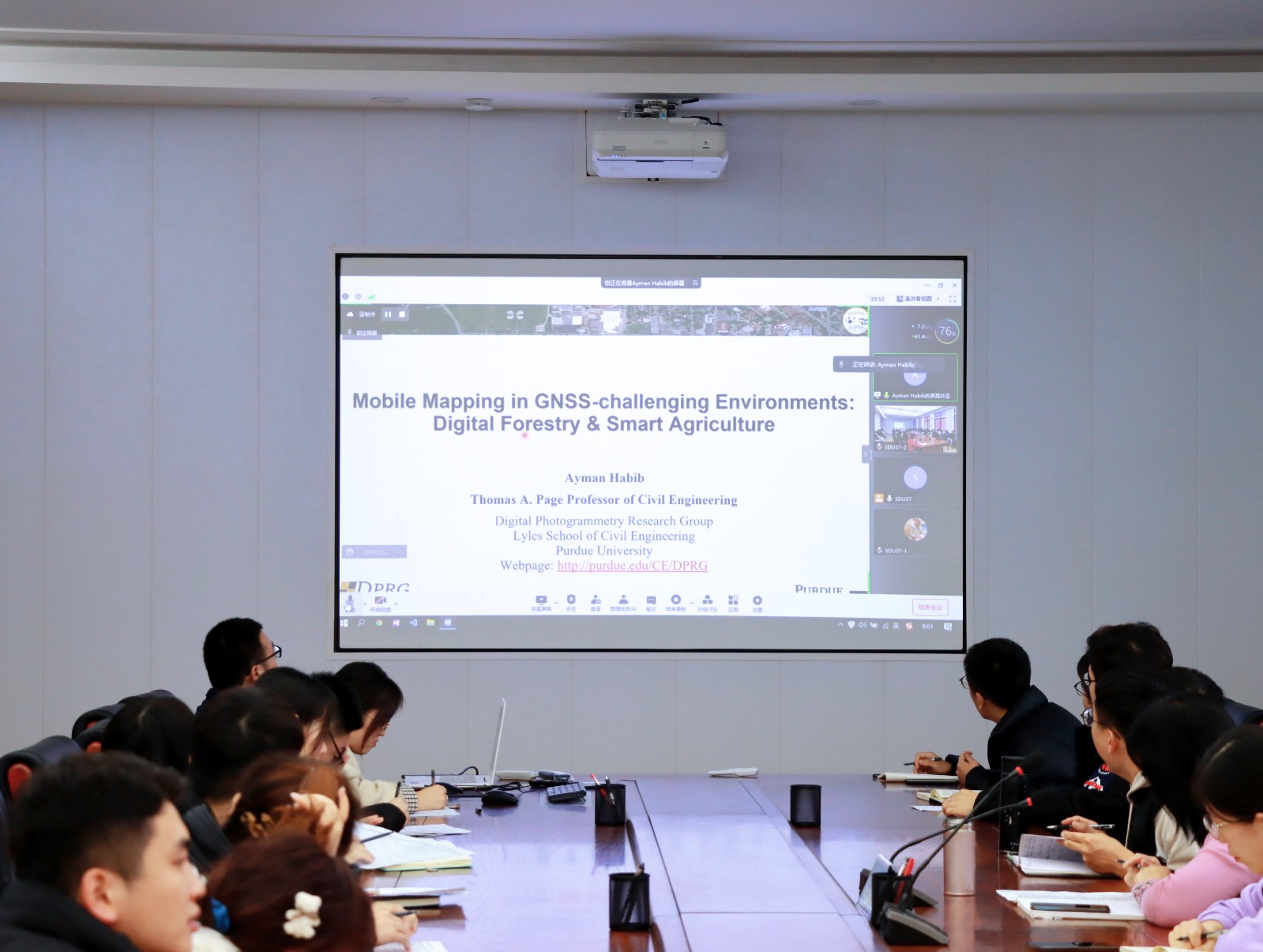
Ayman F. Habib 教授来山东科技大学测绘与空间信息学院作“Mobile Mapping Systems: Demonstrated Technology that Keeps Evolving”专题讲座(图)
山东科技大学测绘与空间信息学院 交通运输管理 遥感学会
<
2022/8/29
2021年12月17日上午,由测绘与空间信息学院主办的智“绘”讲堂在J6第一会议室和434报告厅成功举办。本期智“绘”讲堂邀请到美国摄影测量与遥感学会(ASPRS)和加拿大地球空间信息学会(CIG)会员、美国普渡大学土木工程学院教授、数字摄影测量课题组组长、首席科学家Ayman F. Habib教授作了题为“Mobile Mapping Systems: Demonstrated Technolo...
LANDSLIDE HAZARD ZONATION MAPPING OF CHAMOLI LANDSLIDES IN REMOTE SENSING AND GIS ENVIRONMENT
Landslides Chamoli Remote Sensing Hazard, Himalaya
<
2019/2/27
Landslides are very common problem in hilly terrain. Chamoli region of Himalaya is highest sensitive zone of the landslide hazards. The purpose of Chamoli landslide study, to observe the important ter...
IMAGE CLASSIFICATION FOR MAPPING OIL PALM DISTRIBUTION VIA SUPPORT VECTOR MACHINE USING SCIKIT-LEARN MODULE
Landsat oil palm Python remote sensing Scikit-learn support vector machine
<
2018/11/9
The world has been alarmed with the global warming effects. Global warming has been a distress towards the environment, thus shorten the Earth’s lifespan. It is a challenging task to reduce the global...
UAV PHOTOGRAMMETRY FOR FEATURE EXTRACTION AND MAPPING OF CORRUGATED INDUSTRIAL ROOFTOPS
photogrammetry UAV, drones solar panel point cloud corrugated roof
<
2018/11/9
Corrugated roof sheets used for large-scale industrial rooftops have the potential to carry solar panels. The sheets, however, need to be surveyed so that the solar panels can be installed according t...
INVESTIGATIONS ON THE BUNDLE ADJUSTMENT RESULTS FROM SFM-BASED SOFTWARE FOR MAPPING PURPOSES
bundle adjustment photogrammetry mapping DBAT Inpho ERDAS, PhotoScan
<
2018/6/4
Since its first inception, aerial photography has been used for topographic mapping. Large-scale aerial photography contributed to the creation of many of the topographic maps around the world. In Ind...
OPEN PIT MINE 3D MAPPING BY TLS AND DIGITAL PHOTOGRAMMETRY: 3D MODEL UPDATE THANKS TO A SLAM BASED APPROACH
TLS digital photogrammetry open pit mine SLAM mapping automatic localization
<
2018/6/5
The state of the art of 3D surveying technologies, if correctly applied, allows to obtain 3D coloured models of large open pit mines using different technologies as terrestrial laser scanner (TLS), wi...
Portland State laser mapping project shows landscape changes in Antarctica
Portland State laser mapping project landscape changes Antarctica
<
2017/9/5
Portland State University researchers and the National Science Foundation (NSF) have publically released high-resolution maps of the McMurdo Dry Valleys, a globally unique Antarctic polar desert.The P...
FULLY AUTOMATIC FEATURE-BASED REGISTRATION OF MOBILE MAPPING AND AERIAL NADIR IMAGES FOR ENABLING THE ADJUSTMENT OF MOBILE PLATFORM LOCATIONS IN GNSS-DENIED URBAN ENVIRONMENTS
Mobile Mapping Feature Matching Image Orientation Adjustment
<
2017/7/12
Mobile Mapping (MM) has gained significant importance in the realm of high-resolution data acquisition techniques. MM is able to record georeferenced street-level data in a continuous (laser scanners)...
TOWARDS THE OPTIMAL PIXEL SIZE OF DEM FOR AUTOMATIC MAPPING OF LANDSLIDE AREAS
Landslide landslide mapping DEM resolution Neural Net classification Maximum Likelihood classification
<
2017/7/12
Determining appropriate spatial resolution of digital elevation model (DEM) is a key step for effective landslide analysis based on remote sensing data. Several studies demonstrated that choosing the ...
AN INTEGRATED RAPID MAPPING SYSTEM FOR DISASTER MANAGEMENT
UAV Camera System Rapid Mapping MACS Disaster Management Real-Time Real-Time Situation Picture Projective Mapping
<
2017/7/13
Natural disasters as well as major man made incidents are an increasingly serious threat for civil society. Effective, fast and coordinated disaster management crucially depends on the availability of...
USE OF VERTICAL AERIAL IMAGES FOR SEMI-OBLIQUE MAPPING
Aerial photogrammetry Oblique camera Modelling Mapping
<
2017/7/13
The paper proposes a methodology for the use of the oblique sections of images from large-format photogrammetric cameras, by exploiting the effect of the central perspective geometry in the lateral pa...
APPLICATION OF SOFTMAX REGRESSION AND ITS VALIDATION FOR SPECTRAL-BASED LAND COVER MAPPING
Softmax Regression Classification Land Cover Multispectral Hyperspectral Desktop Enterprise
<
2017/7/13
The presented Softmax Regression classifier is a generalization of logistic regression. It is used for multi-class classification, where classes are mutually exclusive. Implemented in a classification...
FEATURE ORIENTATION AND POSITIONAL ACCURACY ASSESSMENT OF DIGITAL ORTHOPHOTO AND LINE MAP FOR LARGE SCALE MAPPING: THE CASE STUDY ON BAHIR DAR TOWN, ETHIOPIA
Orthophoto Line map GPS data Positional Orientation Accuracy
<
2017/7/12
This study used in-situ GPS data to validate the accuracy of horizontal coordinates and orientation of linear features of orthophoto and line map for Bahir Dar city. GPS data is processed using GAMIT/...
MAPPING SPATIAL MOISTURE CONTENT OF UNSATURATED AGRICULTURAL SOILS WITH GROUND-PENETRATING RADAR
Ground-penetrating radar moisture content agriculture soil spatial mapping active remote sensing
<
2016/12/1
Soil subsurface moisture content, especially in the root zone, is important for evaluation the influence of soil moisture to agricultural crops. Conservative monitoring by point-measurement methods is...