
搜索结果: 1-15 共查到“工学 roads”相关记录44条 . 查询时间(0.146 秒)
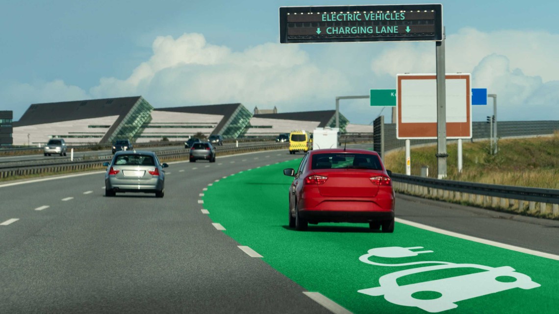
Wireless charging roads equipped with energy storage systems are promising electric vehicle solutions by virtue of their strong advantages in time saving and reduced pressure on the existing power inf...
2019年“一带一路”防灾减灾与可持续发展国际研讨会通知(1st-Announcement of International Conference on Silk-roads Disaster Risk Reduction and Sustainable Development May, 2019, Beijing, CHINA )
2019年 一带一路 防灾减灾 可持续发展 国际研讨会 通知
<
2018/7/31
The Silk Road Economic Belt and the 21st Century Maritime Silk Road (simply called “the Belt and Road” or “Silk roads”) covers more than 70 countries and 4.4 billion people (63% of the world). Due to ...
第十届国际道路、铁路和机场承载能力会议(Tenth International Conference on the Bearing Capacity of Roads, Railways and Airfields)
第十届 国际 道路 铁路 机场 承载能力 会议
<
2017/1/19
BCRRA 2017 Conference will cover aspects related to materials, laboratory testing, design, construction, maintenance and management systems of transport infrastructure focusing on roads, railways and ...
OBJECTS GROUPING FOR SEGMENTATION OF ROADS NETWORK IN HIGH RESOLUTION IMAGES OF URBAN AREAS
Road extraction Segmentation Objects grouping Object based image analysis Maximal similarity region merging
<
2016/11/24
Updated road databases are required for many purposes such as urban planning, disaster management, car navigation, route planning, traffic management and emergency handling. In the last decade, the im...
Automatic 3D Extraction of Buildings, Vegetation and Roads from LIDAR Data
Lidar automatic extraction 3D modelling of building
<
2016/7/27
Aerial topographic surveys using Light Detection and Ranging (LiDAR) technology collect dense and accurate information from the surface or terrain; it is becoming one of the important tools in the geo...
Sensing trouble:A new way to detect hidden damage in bridges,roads
Sensing trouble hidden damage bridges roads
<
2016/7/15
Aging, deterioration and extreme events like earthquakes and hurricanes can take a toll on roads, bridges and other structures. With damage and defects often invisible, the search is on for systems th...
STRAIGHT ROADS EXTRACTION BY FUSION OF SPOKE WHEEL AND REGION GROWING
Semi-automatic road extraction spoke wheel region growing
<
2016/3/17
Semi-automatic methods are regarded as more practical than automatic methods to obtain and/or update the vector road data. But road tracking methods lose their efficiencies when they are applied to tr...
ADAPTATION OF ROADS TO ALS DATA BY MEANS OF NETWORK SNAKES
snakes networks vector data roads ALS intensity topology consistency
<
2016/2/29
In the Authoritative Topographic Cartographic Information System (ATKIS®), which is the main public topographic data base in
Germany, the heights and the 2D positions of objects such as roads a...
ROADS EXTRACTION AND THEIR CHANGES DETECTION IN AIRBORNE IMAGES WITH THE HELP OF GIS DATA
Linear features GIS error correction gradient edge tracking
<
2016/1/3
This paper presents a novel routine to detect the changes of main roads with airborne images of medium-scale of 1:10,000. It mainly focuses on the changes detection of primary streets not the extracti...
ANALYSIS OF UNCERTAIN FACTORS IN AUTOMATIC EXTRACTION OF ROADS FROM SAR IMAGERY
SAR Image Uncertainty Speckle Noise Road Feature Hypothesis Testing Performance Evaluation
<
2015/12/30
The uncertain factors of automatic extracting roads from the Synthetic Aperture Radar (SAR) imagery have been considered in details in the paper. We consider that the key point of the extraction is th...
EARTHQUAKE DESTRUCTION ASSESSMENT OF URBAN ROADS NETWORK USING SATELLITE IMAGERY AND FUZZY INFERENCE SYSTEMS
Satellite Remote Sensing Damage Assessment Computer Vision Texture Analysis Disaster Management Fuzzy Inference Systems
<
2015/12/28
The idea of assessing the damages to roads network after earthquake strikes has been referred as a matter of importance for performing every systematically planned activity in the affected region. Whe...
Selection of Roads for Cartographic Generalization
Cartography Generalization Computer Vision Feature Generalization,
<
2015/12/16
Generalization is the task of producing multiple maps, of a different scale or purpose, from a single detailed data source. The field of generalization can be split into model generalization and carto...
AUTOMATIC BLOCKED ROADS ASSESSMENT AFTER EARTHQUAKE USING HIGH RESOLUTION SATELLITE IMAGERY
High resolution Satellite Image Earthquake Classification Texture Analysis Roads damage map
<
2016/1/18
In 2010, an earthquake in the city of Port-au-Prince, Haiti, happened quite by chance an accident and killed over 300000 people. According to historical data such an earthquake has not occurred in the...
Extraction of Main and Secondary Roads in VHR Images Using A Higher-Order Phase Field Model
Road Urban Satellite Segmentation Modelling Variational methods
<
2015/12/4
This paper addresses the issue of extracting main and secondary road networks in dense urban areas from very high resolution (VHR, ~0.61m) satellite images. The difficulty with secondary roads lies in...
3D GIS BASED EVALUATION OF THE AVAILABLE SIGHT DISTANCE TO ASSESS SAFETY OF URBAN ROADS
3D Sight Analysis Sight Distance Road Safety Mobile Mapping Digital Terrain Model Sight Obstruction Low-Cost Sensors GNSS/IMU
<
2015/9/21
The available sight distance (ASD) in front of the driver to detect possible conflicts with unexpected obstacles is fundamental for traffic safety. In the last 20 years, road design software (RDS) has...